MEASUREMENT FROM THE AIR
USING A MULTICOPTER/DRONE
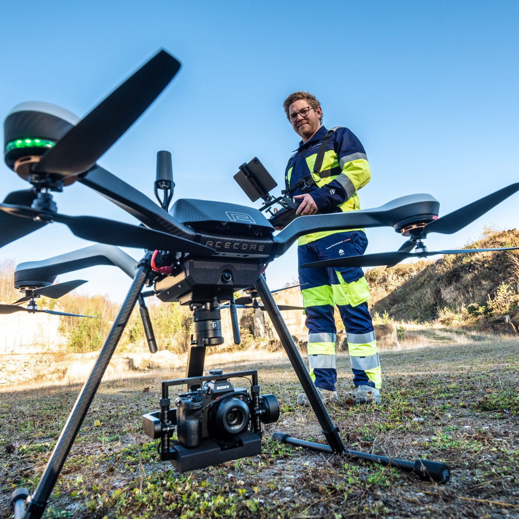
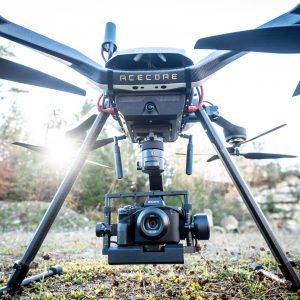
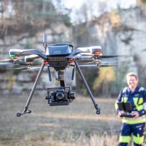
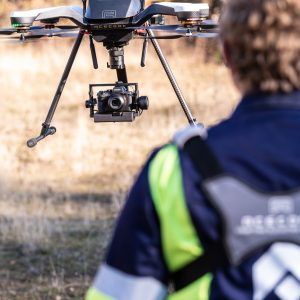
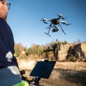
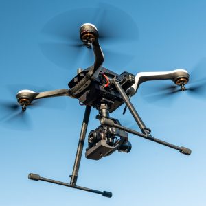
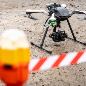
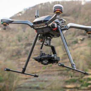
With aerial surveys, we can use our multicopter to measure large and/or difficult-to-access areas efficiently, contact-free and with high three-dimensional accuracy down to the centimetre in a very short space of time. There are two ways in which we can process 3D-point-clouds using aerial surveys. Photogrammetrically, obtained from photos or supported by laser scan data using a lidar scanner. Based on the 3D-point-cloud, we are able to create further data sets, such as digital elevation models (DEM, DTM), a structured triangular meshing in the grid model (mesh), as well as a georeferenced orthophoto. The data created can then be further processed using CAD or in a GIS system such as Esri ArcGIS.
In order to achieve a centimetre-accurate solution for the project, georeferencing of the acquired data is absolutely essential. In the first step, both photos and laser scan data are in a local system without spatial reference to a known coordinate or height system. In order to convert this data into a higher-level coordinate system (Gauss-Krüger or UTM) and elevation system (DHDN16), it is essential to create a control point field. Only through this control point field and the subsequent georeferencing in post-processing are the photos or laser scan data without spatial reference, i.e. without information about their position on the earth, provided with coordinates and heights.
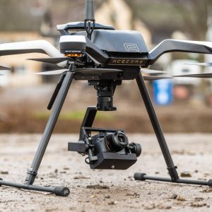
Using the photogrammetry mentioned at the beginning, we obtain three-dimensional information for surveying on the basis of photos generated by our high-resolution camera in the air. The photos are processed with the help of photogrammetric evaluation software and a coloured 3D point cloud is created for further processing. This method is essential for the creation of true-to-scale and distortion-free orthophotos.
Another method is the acquisition of laser scan data, which is recorded using a lidar scanner specially manufactured for UAVs. This determines a mostly colourless point cloud directly during the flight and is characterised by the fact that even the smallest gaps in the vegetation allow the surface below to be mapped. Lidar scanners are used to achieve the most accurate possible image of the surface without vegetation. The results from the lidar scan are also processed in special software following the aerial survey.
Advantages of the respective application:
Photogrammetry
- True-to-scale, distortion-free and georeferenced orthophoto
- Digital elevation model
- Coloured 3D model
- Textured mesh
- Distortion-free images of facades or bridges
Lidar scan:
- Digital terrain models without vegetation
- Even difficult lighting conditions have no effect on the result
- Mapping of long distances
- Detection of fine objects such as high-voltage power lines
The focus of the project must be determined in conjunction with the customer. It is also possible to combine both applications in order to achieve an optimum result and utilise the advantages of each application.
- Authorisations and preliminary planning
- Development of the ‘soil’ and ‘air’ risk categories in accordance with NfL 1-1163-17
- Preparation of an integrated risk assessment with regard to hazard groups and hazard factors Identification and definition of existing risk groups and hazard factors
- Identification and definition of existing damage-prevention measures, devices and facilities that affect the risk assessment with regard to the Ground Risk Class (GRC) and Air Risk Class (ARC)
- If necessary, preparation of an order-specific SORA-GER ConOps (=Concept of Operations) in accordance with NfL 1-1163-17 and LuftVO for the licence application
- Preparation and submission of all licence applications to the relevant authorities
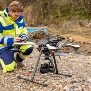
- Aerial survey using a multicopter
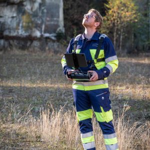
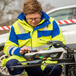
- Surveying engineer/remote pilot, certified according to EASA, A1/A2/A3 remote pilot licence
- Analysis of the recording area
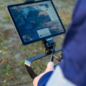
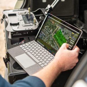
- Image flight planning using suitable flight planning software
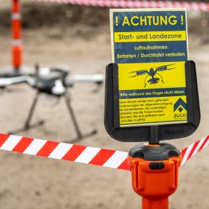
- Determining the take-off and landing points of the multicopter and securing them
- Determination of suitable control and checkpoints and marking of these with special reference boards
- GPS-supported or tachymetric measurement of control and check points
- Integration into a higher-level coordinate system (Gauss-Krüger or UTM)
- Processing the pre-flight checklist for accident prevention
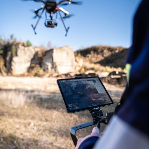
- Carrying out the aerial survey using a multicopter
- Evaluation
- Post processing of georeferenced data in a superordinate coordinate system (Gauss-Krüger or UTM)
- Evaluation of the georeferenced data using special software
- Creation of data models in 2D and 3D using specialised software:
- Coloured 3D-point-cloud
- Digital elevation model (DEM, DTM)
- Structured triangular meshing in the grid model (Mesh)
- Orthomosaic (GeoTiff)
-
- All data models are exported and transferred in standard formats for further processing in downstream customer systems (CAD, Esri ArcGIS).
- Further analyses in a downstream system in the form of CAD drawings (as-built plans, longitudinal sections and cross-sections) or analyses for volume determinations can be carried out separately.
Find out more: augel-3d.solutions

