Precise
Geodata
Coordination

GIS – Geo information system
Geodata need a "home" - it all started with this idea. Geodata is knowledge and knowledge is precious. The pure 3D coordinate is not yet knowledge. This only begins with the data that belongs to a coordinate. Our GIS provides the link between knowledge and the information needed for a new project. The GIS can visualize coordinates and associated data in 2D and 3D and make them usable for you or us.
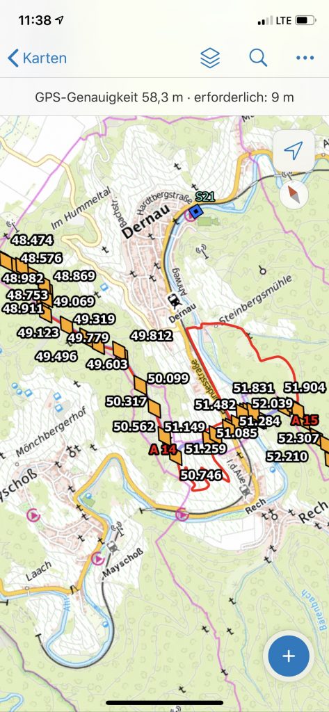
Our trained personnel can collect geodata and other required information directly on site using high-precision GPS antennas and transfer it to GIS.
References
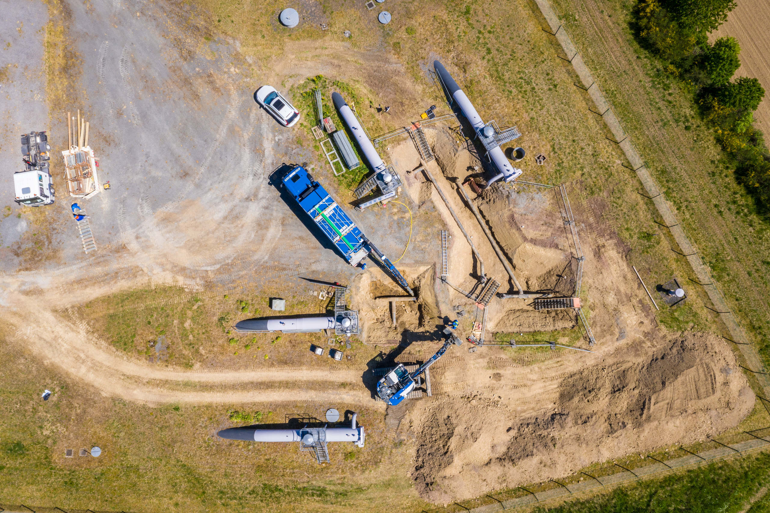
Relocation of a DN300 gas pipeline
Trans-Europa-Naturgas-Pipeline

Pipeline maintenance
RMR railway crossing Betuwe Line